| Submit your comments on this article |
| Syria-Lebanon-Iran |
| Maps of the region |
| 2006-07-18 |
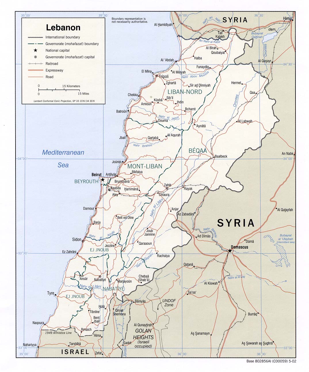
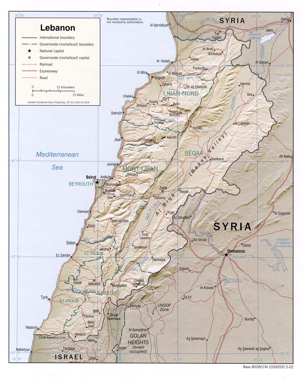
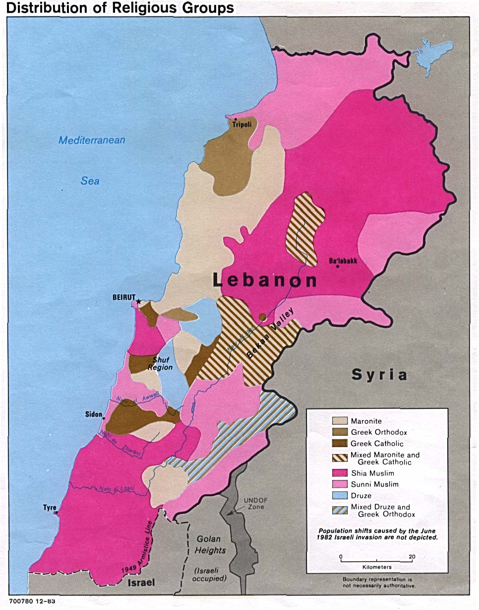
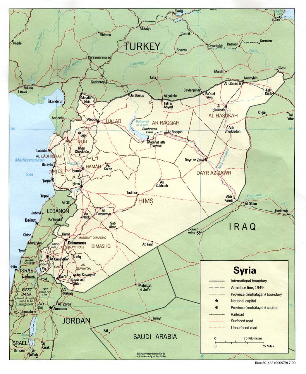
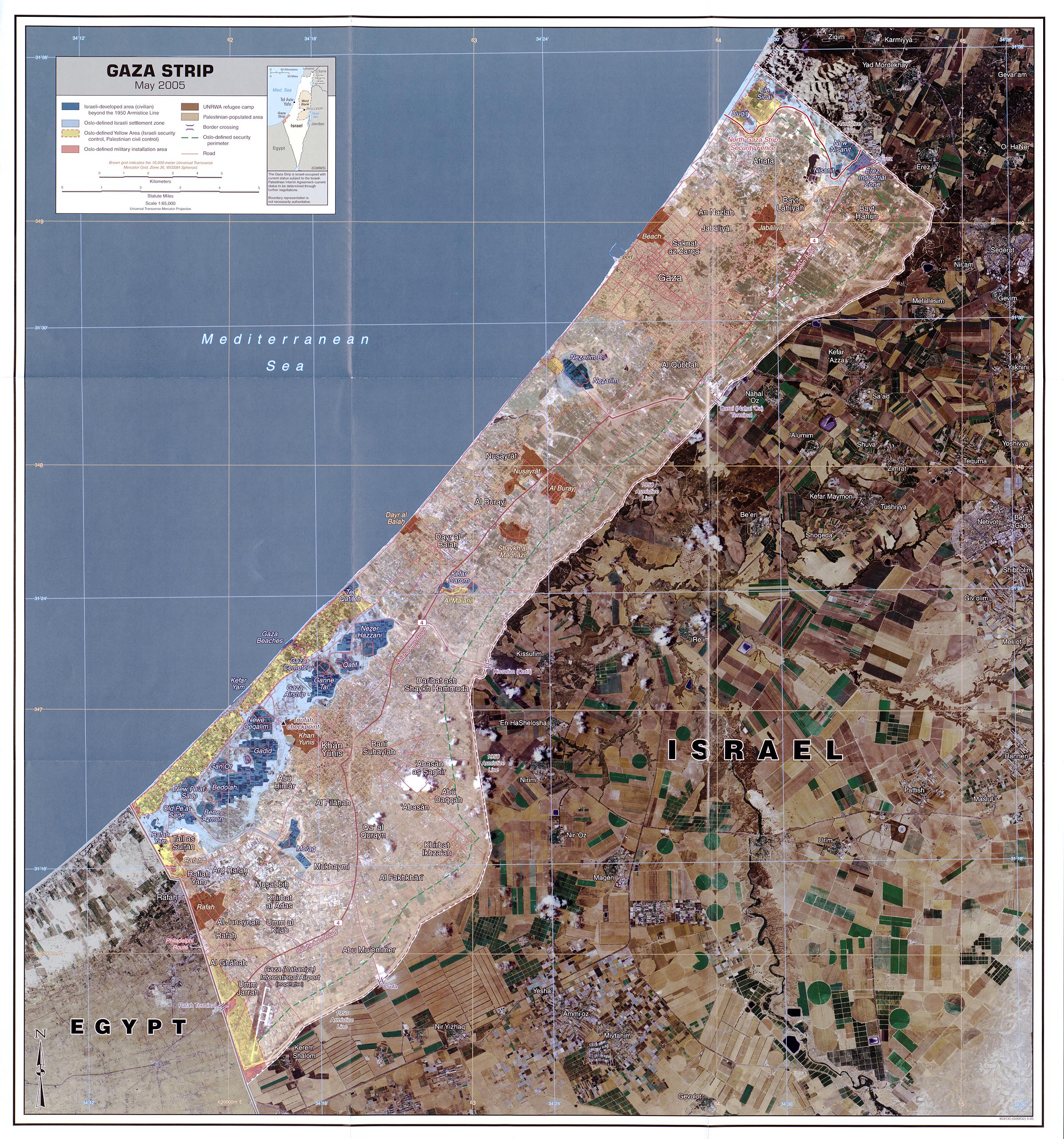
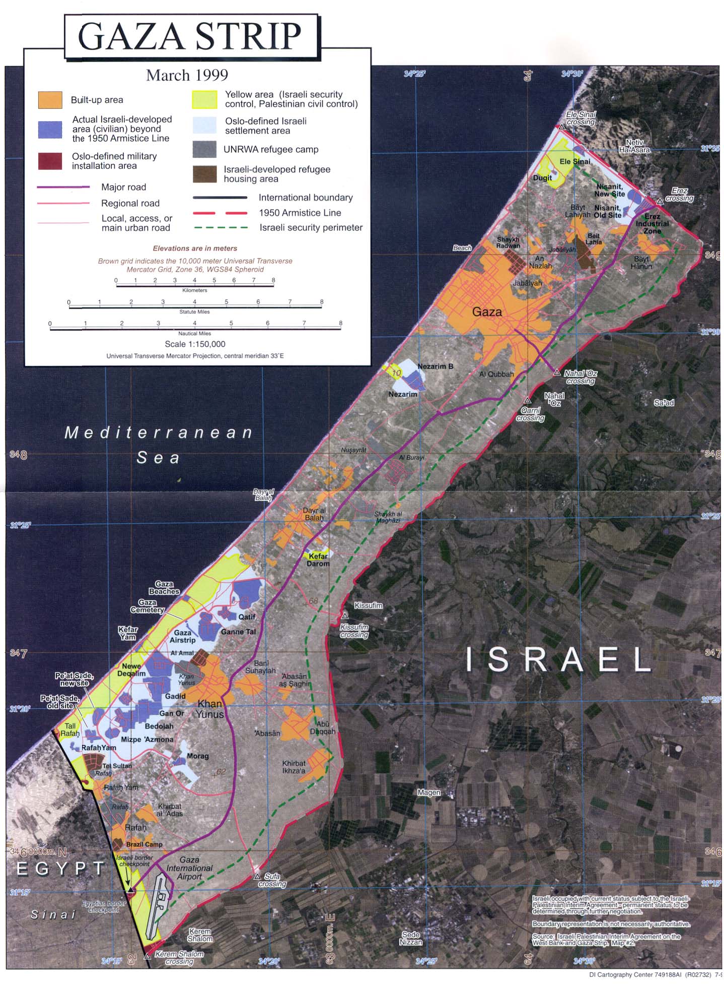
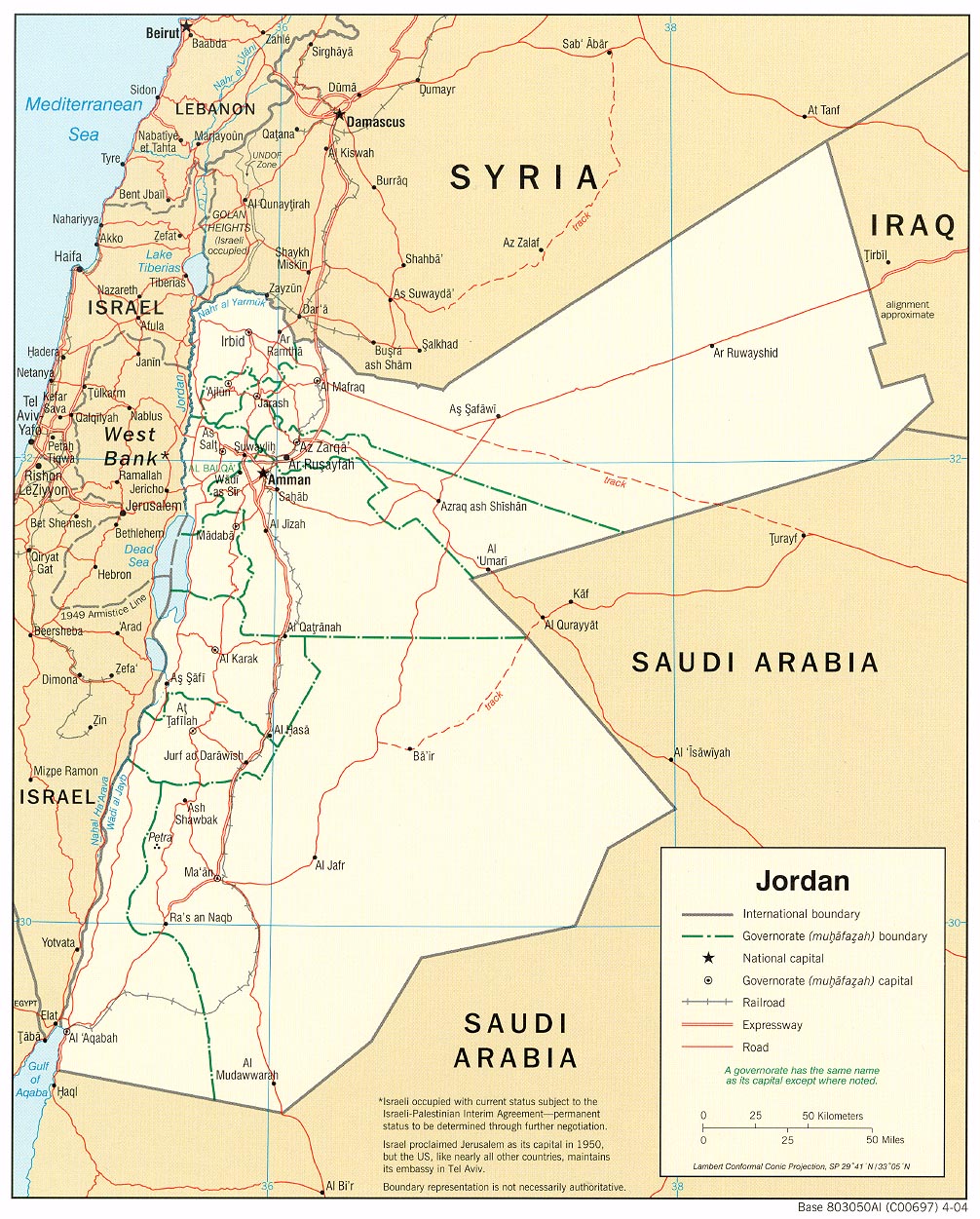
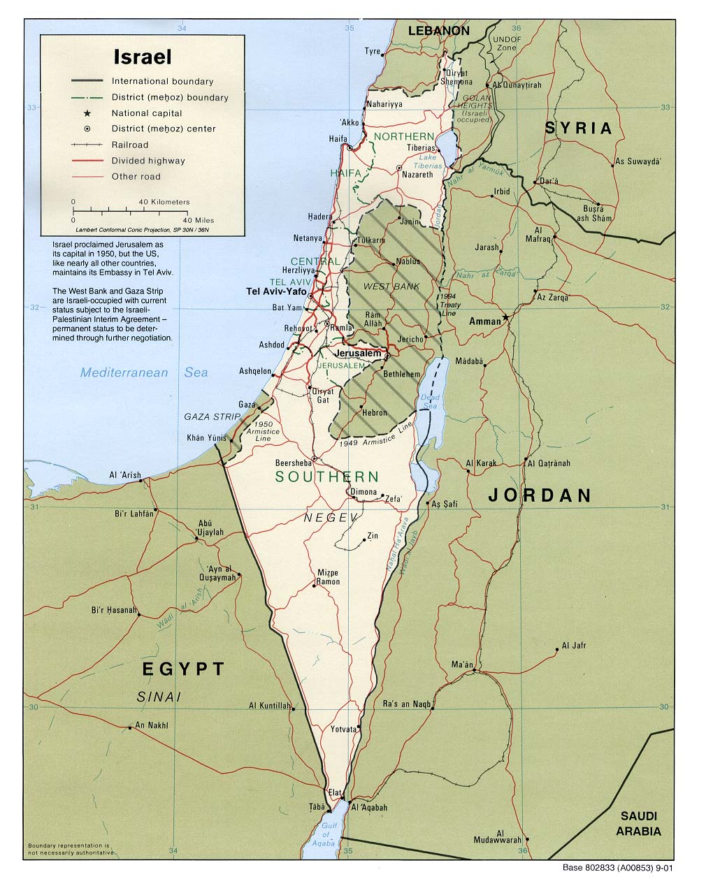
| Thought it might be useful to link to one of the better resources on the web, the University of Texas Libraries Perry-Castañeda Library Map Collection. Some maps of interest: Lebanon, political map, 2002. Lebanon, shaded relief, 2002. Older, 1983 map of Lebanese religious demographics. Added: Bill Roggio's map as noted by Sherry in the comments. Syria, political map, 1990. Gaza land use, May, 2005 (very large, 1:65,000!). Gaza, use and political demarcations, 1999 (1:150,000). Jordan, political map, 2004. This actually has a better look at northern Israel and Lebanon than the usual Israel maps. Israel, political map, 2001. Debka's map of airstrikes and missile hits, July 15th. |
| Posted by:Steve White |
| #7 Look at he Gaza Land Use map. The fields are green on the Israeli side of the line, and bare dirt on the Paleo side. Dead, just like the spirit and intellectual awareness of it's populace. |
| Posted by: bigjim-ky 2006-07-18 07:39 |
| #6 Sherry's map is a Google Earth overlay. Any idea where we can get the KMZ file? |
| Posted by: gromky 2006-07-18 05:20 |
| #5 Strange how the mind works in times like these. You posted "Maps of the Region" and I instantly knew exactly for what region the maps would be. |
| Posted by: crosspatch 2006-07-18 03:39 |
| #4 BBC has some useful maps also |
| Posted by: tipper 2006-07-18 02:14 |
| #3 Thanks for the links!! |
| Posted by: 2b 2006-07-18 01:24 |
| #2 We need to get to a point where Israel redraws the boundaries of these maps. |
| Posted by: Captain America 2006-07-18 01:08 |
| #1 Bill Roggio at http://counterterrorismblog.org/ has this incredible map of range of Iranian built missiles possibily in Hezbollah's arsenal http://www.flickr.com/photo_zoom.gne?id=191787960&size=o |
| Posted by: Sherry 2006-07-18 00:11 |